
Access & Navigability
access & navigability
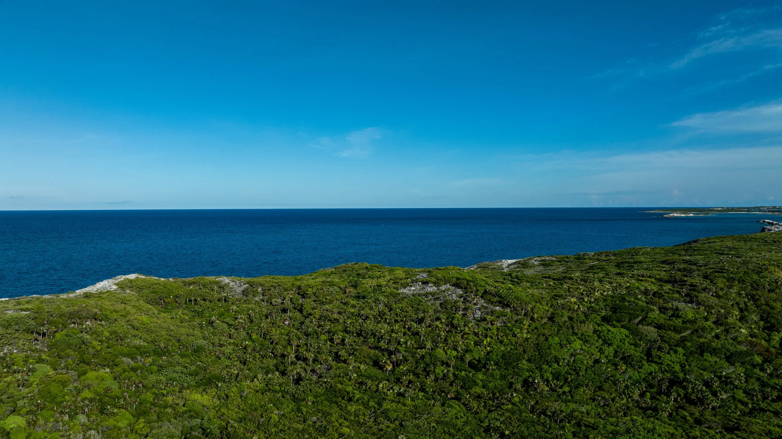
The North Channel is an established navigable waterway used for controlled vessel traffic. The proposed service dock benefits from two access routes: via Over Yonder Cut and from the western approach.
Bathymetric surveys confirm natural depths ranging from –7 ft to –12 ft MLLW (Mean Lower Low Water).
Depths of approximately –10 ft MLLW are recorded within 120–150 feet of the proposed entrance footprint.
The channel is an existing marine corridor, not a newly created passage.
Improvements consist of targeted dredging and the addition of a jetty/breakwater to enhance protection and improve navigational predictability.
Video documentation of the Bimini Cat barge transiting the North Channel to the proposed dock location further demonstrates that the
waterway is both functional and navigable under controlled marine operations.
With responsible engineering and controlled operations, it can serve as a safe, limited-traffic gateway for service logistics,
without unnecessary alternatives that could cause greater disruption.